
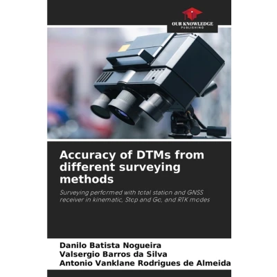
Accuracy of DTMs from different Surveying methods: performed with total station and GNSS receiver in kinematic, Stop Go, RTK modes
Uitgelicht

|
38,99 |
Naar shop
|

|
43,99 |
Naar shop
|
| VERGELIJK ALLE AANBIEDERS (2) | ||
 Beschrijving
Bol
This work was carried out in the municipality of Caridade-Ce. The main objective of this research was to evaluate and compare the altimetric accuracy of Digital Terrain Models generated from topographic surveys carried out with a total station and GNSS receiver in the following modes: (1) kinematic, (2) Stop and Go, and (3) kinematic with real-time correction (RTK) for the purpose of material cubing and to indicate the most recommended in terms of cost-benefit ratio. All analyses were based on the Cartographic Accuracy Standard for Digital Cartographic Products (PEC-PCD).


 Beschrijving
(1)
Beschrijving
(1)
This work was carried out in the municipality of Caridade-Ce. The main objective of this research was to evaluate and compare the altimetric accuracy of Digital Terrain Models generated from topographic surveys carried out with a total station and GNSS receiver in the following modes: (1) kinematic, (2) Stop and Go, and (3) kinematic with real-time correction (RTK) for the purpose of material cubing and to indicate the most recommended in terms of cost-benefit ratio. All analyses were based on the Cartographic Accuracy Standard for Digital Cartographic Products (PEC-PCD).
 Productspecificaties
 Prijshistorie
* Prijshistorie bevat geen data van Amazon.
Prijzen voor het laatst bijgewerkt op:
 Gerelateerde resultaten


