

€ 89,62 € 3,14 verzendkosten Totaal € 92,76

Uitgelicht
|
|
89,62 |
Naar shop
|

|
99,99 |
Naar shop
|
| VERGELIJK ALLE AANBIEDERS (2) | ||
 Beschrijving
Vergelijk aanbieders (2)
€ 89,62 € 3,14 verzendkosten Totaal € 92,76
€ 99,99 Gratis verzending
Winkels met andere maten
Beschrijving
(1)
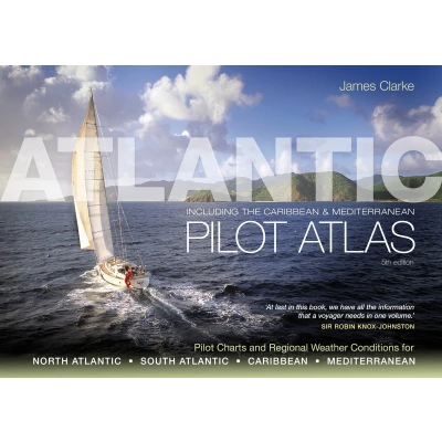
A guide to the weather of the North and South Atlantic, the Mediterranean and the Caribbean - 40 colour charts show likely winds, currents, gale frequencies, rough sea conditions, hurricane tracks and recommended sailing routes for each month of the year. The Atlantic Pilot Atlas provides a complete guide to the weather of the North and South Atlantic, the Mediterranean and the Caribbean.Now revised for the fifth edition, it includes weather forecasting, global warming and hurricane avoidance information as well as wind and current charts, wave heights, tropical cyclone tracks and shipping routes. Any skipper contemplating an ocean crossing needs to know what conditions he is likely to meet en route, in order to plan a safe and comfortable passage, and this book provides exactly what is needed.40 specially drawn colour charts show detailed information on the winds, currents, gale frequencies, rough sea conditions, hurricane tracks and recommended sailing routes for each month of the year for all these oceans.'This is what every yachtsman contemplating an extended cruise needs in one book... No serious offshore bookshelf should be without one.' Yachting Monthly 'Without doubt the most useful guide for anyone planning a Transatlantic voyage.' Ships & Ports
 Prijshistorie
 * Prijshistorie bevat geen data van Amazon.
Prijzen voor het laatst bijgewerkt op:
 Gerelateerde resultaten
 Productspecificaties


