
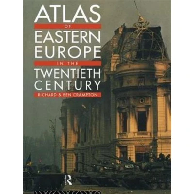
Atlas of Eastern Europe in the Twentieth Century
Uitgelicht

|
53,99 |
Naar shop
|
| VERGELIJK ALLE AANBIEDERS (1) | ||
 Beschrijving
Bol
Marshalling 129 maps, numerous diagrams and incisive textual commentary, this atlas draws a definitive picture of the changing shape of Eastern Europe from the beginning of the 20th century to the present. An invaluable guide. An invaluable guide to a complex subject, this atlas: * gives a general introduction to the physical, ethnic and religious composition of the region * includes summary maps of Eastern Europe in 1900, 1923, and 1945 * charts the ebb and flow of the first and second world wars in Eastern Europe * presents detailed information relating to consituent territories, elections, economic developments and land holding patterns for key individual countries in the inter-war years * provides crucial social and economic data, evidencing changes under communist domination * gives maps of the new states of the post-communist years with details of elections and economic indicators for Belarus, Bosnia-Hercegovina, Croatia, The Czech Republic, Estonia, Latvia, Lithuania, Macedonia, Moldova, Slovakia and others. * contains an extensive glossary listing the major towns of the area under their linguistic variants


Vergelijk aanbieders (1)

 Beschrijving
(1)
Beschrijving
(1)
Marshalling 129 maps, numerous diagrams and incisive textual commentary, this atlas draws a definitive picture of the changing shape of Eastern Europe from the beginning of the 20th century to the present. An invaluable guide. An invaluable guide to a complex subject, this atlas: * gives a general introduction to the physical, ethnic and religious composition of the region * includes summary maps of Eastern Europe in 1900, 1923, and 1945 * charts the ebb and flow of the first and second world wars in Eastern Europe * presents detailed information relating to consituent territories, elections, economic developments and land holding patterns for key individual countries in the inter-war years * provides crucial social and economic data, evidencing changes under communist domination * gives maps of the new states of the post-communist years with details of elections and economic indicators for Belarus, Bosnia-Hercegovina, Croatia, The Czech Republic, Estonia, Latvia, Lithuania, Macedonia, Moldova, Slovakia and others. * contains an extensive glossary listing the major towns of the area under their linguistic variants
 Productspecificaties
| EAN |
|
|---|---|
| Maat |
|
 Prijshistorie
Prijzen voor het laatst bijgewerkt op:
 Gerelateerde resultaten


