
Complete Atlas of the Railways South West and Central Sou
Uitgelicht

|
48,75 |
Naar shop
|
| VERGELIJK ALLE AANBIEDERS (1) | ||
 Beschrijving
Bol Partner
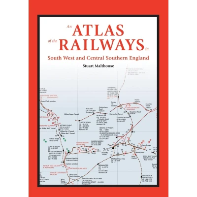
This railway atlas presents a much wider range of railway types and their features than those shown on most existing maps. Its coverage begins with the earliest railways and carries through to the present day. The area covered in this volume extends from Cornwall in the South West to Hampshire in Central Southern England and as far north as Bristol and Swindon. Industrial railways are shown as well as passenger carrying lines. Each map is accompanied by a detailed key to the public and private railway systems shown. This includes dates of operation, gauges and significant topographical features. Information on stations includes the opening and closing dates and any name changes which occurred. A chronology of the public railway routes also accompanies each map, which includes independent public railways and any independent private railways with public rail involvement. Approximately 76 pages of detailed information about the railway system in the areas covered and a chronology preface the railway atlas section providing a wealth of detailed reference material.


Vergelijk aanbieders (1)

 Beschrijving
(1)
Beschrijving
(1)
This railway atlas presents a much wider range of railway types and their features than those shown on most existing maps. Its coverage begins with the earliest railways and carries through to the present day. The area covered in this volume extends from Cornwall in the South West to Hampshire in Central Southern England and as far north as Bristol and Swindon. Industrial railways are shown as well as passenger carrying lines. Each map is accompanied by a detailed key to the public and private railway systems shown. This includes dates of operation, gauges and significant topographical features. Information on stations includes the opening and closing dates and any name changes which occurred. A chronology of the public railway routes also accompanies each map, which includes independent public railways and any independent private railways with public rail involvement. Approximately 76 pages of detailed information about the railway system in the areas covered and a chronology preface the railway atlas section providing a wealth of detailed reference material.
 Productspecificaties
| EAN |
|
|---|---|
| Maat |
|
 Prijshistorie
Prijzen voor het laatst bijgewerkt op:
 Gerelateerde resultaten


