
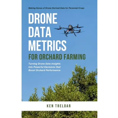
Drone Data Metrics for Orchard Farming: Making Sense of Derived Perennial Crops
Uitgelicht

|
16,00 |
Naar shop
|

|
31,78 |
Naar shop
|

|
31,78 |
Naar shop
|
| VERGELIJK ALLE AANBIEDERS (3) | ||
 Beschrijving
Bol
Maps are not the goal. Management is.Go from pixels to pruning; from insights to intelligent irrigation; from yield predictions to predictable profit.Build a data-savvy orchard mindset without the guesswork.Drone data can feel complex. It doesn't have to be. In Drone Data Metrics for Orchard Farming, AgTech writer and strategist Ken Treloar outlines how to effectively read RGB, DEMs, multispectral indices, thermal metrics, canopy statistics, and analyse plant census data with clarity.Turning information from above into practical field actions with a simple, repeatable workflow. The perfect guide for for UAV mapping management of perennial crops. What you'll learn:How to choose survey timing that actually helps (early season; mid season; post-harvest).How to layer data (RGB + DEM + NDVI/NDRE + Thermal) to diagnose why planted assets are underperforming.How to use plant census and canopy metrics to target replanting, pruning, and VRA programs.When NDVI is the right tool; when NDRE sees stress sooner in dense canopies.How Transpiration Uniformity and Transpiration Variance surface irrigation issues before they cost you yield.How to design Smart Sampling routes that cut walking time and remove bias.How to compare seasons; measure variance; and track ROI with confidence.Practical thresholds and rules-of-thumb for quick triage in the field.Make better decisions from your very next drone flight!


 Beschrijving
(2)
Beschrijving
(2)
Maps are not the goal. Management is.Go from pixels to pruning; from insights to intelligent irrigation; from yield predictions to predictable profit.Build a data-savvy orchard mindset without the guesswork.Drone data can feel complex. It doesn't have to be. In Drone Data Metrics for Orchard Farming, AgTech writer and strategist Ken Treloar outlines how to effectively read RGB, DEMs, multispectral indices, thermal metrics, canopy statistics, and analyse plant census data with clarity.Turning information from above into practical field actions with a simple, repeatable workflow. The perfect guide for for UAV mapping management of perennial crops. What you'll learn:How to choose survey timing that actually helps (early season; mid season; post-harvest).How to layer data (RGB + DEM + NDVI/NDRE + Thermal) to diagnose why planted assets are underperforming.How to use plant census and canopy metrics to target replanting, pruning, and VRA programs.When NDVI is the right tool; when NDRE sees stress sooner in dense canopies.How Transpiration Uniformity and Transpiration Variance surface irrigation issues before they cost you yield.How to design Smart Sampling routes that cut walking time and remove bias.How to compare seasons; measure variance; and track ROI with confidence.Practical thresholds and rules-of-thumb for quick triage in the field.Make better decisions from your very next drone flight!
AmazonPagina's: 236, Paperback, AgTech Publications
 Productspecificaties
 Prijshistorie
* Prijshistorie bevat geen data van Amazon, Amazon Marketplace.
Prijzen voor het laatst bijgewerkt op:
 Gerelateerde resultaten


