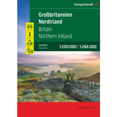


€ 24,49 Gratis verzending

Gesponsorde links
|
|
24,49 |
Naar shop
|

|
24,49 |
Naar shop
|

|
24,77 |
Naar shop
|
| VERGELIJK ALLE AANBIEDERS (3) | ||
 Beschrijving
Vergelijk aanbieders (3)
Gesponsorde links · Sommige shops betalen ons een vergoeding
€ 24,49 Gratis verzending
€ 24,49 Gratis verzending
€ 24,77 € 2,99 verzendkosten Totaal € 27,76
Winkels met andere maten
Beschrijving
(1)
Autoatlas Großbritannien - Nordirland 1:200.000 - 1:266.000Informationen zum Straßenatlas Großbritannien - Nordirland- Großbritannien - Nordirland 1:200.000 - 1:266.000- Spiralbindung- Camping- und Stellplätze- Touristische Informationen- Ortsregister- 64 Innenstadtpläne- 328 Seiten, Format 22,5 x 29,7 cm Der ideale Autoatlas für Großbritannien und NordirlandSpiralbindungInnenstadtpläne
 Prijshistorie
* Prijshistorie bevat geen data van Amazon, Amazon Marketplace.
Prijzen voor het laatst bijgewerkt op:
 Gerelateerde resultaten
 Productspecificaties


