

€ 14,95 Gratis verzending

Gesponsorde links
|
|
14,95 |
Naar shop
|

|
18,50 |
Naar shop
|
| VERGELIJK ALLE AANBIEDERS (2) | ||
 Beschrijving
Vergelijk aanbieders (2)
Gesponsorde links · Sommige shops betalen ons een vergoeding
€ 14,95 Gratis verzending
€ 18,50 Gratis verzending
Winkels met andere maten
Beschrijving
(1)
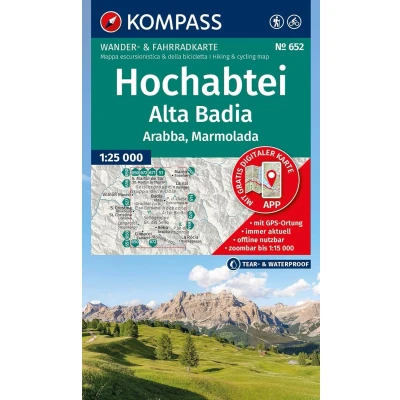
Hiking map of Alta Badia, Arabba, Marmolada : The map for hiking, cycling and many other outdoor activities. Maps are easy to read yet contain all the information you need for a perfect hike , bike ride, or day trip. They depict the landscape at the appropriate scale. Countless additional details are reviewed and expanded by the cartography team Hiking map of Alta Badia, Arabba, Marmolada : The map for hiking, cycling and many other outdoor activities Kompass hiking maps are easy to read yet contain all the information you need for a perfect hike , bike ride, or day trip. They depict the landscape at the appropriate scale. Countless additional details are continuously reviewed and expanded by the cartography team. The precise cartography includes all official hiking trails with names and trail numbers (such as long-distance trails), bike paths (including trails), via ferratas, inns and huts, parking areas, bus and train connections, ski tours and cross-country ski trails, springs, swimming spots, and much more. This makes the map ideal for discovering new destinations, planning tours, and navigating on the go. An intuitive map image of the landscape is created by the depicted vegetation, contour lines, rock formations, and the shading (shadowing) of the mountains. Features of the hiking map Hochabtei / Alta Badia, Arabba , Marmolada: Scale 1:25,000 : 1cm on the main map corresponds to 250m in reality. About the region: Alta Badia, Arabba, Marmolada: Located in the heart of the Dolomites, this region impresses with the Queen of the Dolomites, the Marmolada. Arabba and Alta Badia are ideal starting points for high-alpine tours and leisurely hikes.
 Prijshistorie
* Prijshistorie bevat geen data van Amazon.
Prijzen voor het laatst bijgewerkt op:
 Gerelateerde resultaten
 Productspecificaties


