
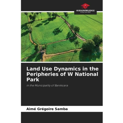
Land Use Dynamics in the Peripheries of W National Park: Municipality Banikoara
Uitgelicht

|
47,15 |
Naar shop
|

|
47,15 |
Naar shop
|

|
48,99 |
Naar shop
|
| VERGELIJK ALLE AANBIEDERS (3) | ||
 Beschrijving
Bol
A study of land use dynamics in the peripheries of W National Park was conducted in the districts of Founougo and Soroko within the municipality of Banikoara. The methods used included a reconnaissance mission, socio-economic surveys, and the analysis of various planimetric data. The Leopold Matrix was used to identify the impacts of human activities on the environmental components of the area. Three main activities were identified on the outskirts of W National Park: agriculture, livestock raising, and hunting. A diachronic analysis of the study area using satellite imagery from 1995 to 2006 shows an increase in agricultural land and a decrease in natural areas. Between 1995 and 2006, natural areas declined from 93,846 ha to 18,348 ha, a decrease of 30.46%, while agricultural and inhabited areas increased by 30.37% and 0.08%, respectively, over the same period. It is therefore important to promote sustainable land conservation practices in the Founougo and Soroko districts of the Banikoara municipality.


 Beschrijving
(1)
Beschrijving
(1)
A study of land use dynamics in the peripheries of W National Park was conducted in the districts of Founougo and Soroko within the municipality of Banikoara. The methods used included a reconnaissance mission, socio-economic surveys, and the analysis of various planimetric data. The Leopold Matrix was used to identify the impacts of human activities on the environmental components of the area. Three main activities were identified on the outskirts of W National Park: agriculture, livestock raising, and hunting. A diachronic analysis of the study area using satellite imagery from 1995 to 2006 shows an increase in agricultural land and a decrease in natural areas. Between 1995 and 2006, natural areas declined from 93,846 ha to 18,348 ha, a decrease of 30.46%, while agricultural and inhabited areas increased by 30.37% and 0.08%, respectively, over the same period. It is therefore important to promote sustainable land conservation practices in the Founougo and Soroko districts of the Banikoara municipality.
 Productspecificaties
 Prijshistorie
* Prijshistorie bevat geen data van Amazon, Amazon Marketplace.
Prijzen voor het laatst bijgewerkt op:
 Gerelateerde resultaten


