


€ 16,00 € 2,99 verzendkosten Totaal € 18,99

Uitgelicht
|
|
16,00 |
Naar shop
|

|
19,25 |
Naar shop
|

|
19,25 |
Naar shop
|
| VERGELIJK ALLE AANBIEDERS (3) | ||
 Beschrijving
Vergelijk aanbieders (3)
€ 16,00 € 2,99 verzendkosten Totaal € 18,99
€ 19,25 Gratis verzending
€ 19,25 Gratis verzending
Winkels met andere maten
Beschrijving
(1)
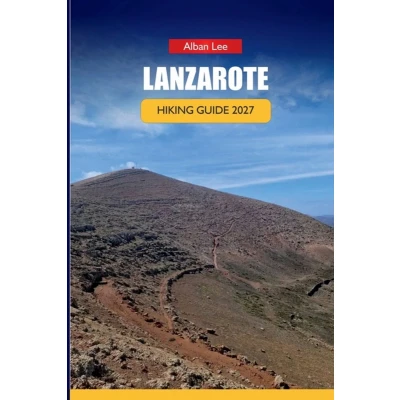
Planning a Lanzarote hike and not sure if you're even allowed to walk into Timanfaya National Park? Wondering why every "easy" volcanic trail on this island still asks for two liters of water and an early alarm? Lanzarote's volcanic terrain doesn't work like other hiking destinations, and generic guides don't cover the specifics that actually matter here: which trails you can walk independently, which require an advance-booked ranger, and which start times separate a manageable day from a genuinely hard one. This guide gives first-time Canary Island visitors the planning detail this island's terrain demands: - Trail-by-trail breakdowns for beginner routes like Caldera Blanca and the La Corona volcano path, plus harder terrain along the Famara escarpment and the historic Camino de los Gracioseros- A clear explanation of Timanfaya National Park's access rules, including the guided bus route and the ranger-led Tremesana walk, and how to book both- Month-by-month trail condition guidance so you know when heat and wind actually change what's safe to attempt- Getting There and trailhead access details by region, from airport transport to point-to-point route logistics- Where to base yourself depending on which hikes, you're prioritizing- A gear list built specifically for volcanic terrain, sun exposure, and coastal wind- Ready-made 3-day, 5-day, and 7-day itineraries that account for the park's fixed booking schedule >Get your copy and start planning a Lanzarote hiking trip built around how this island actually works.
 Prijshistorie
 * Prijshistorie bevat geen data van Amazon, Amazon Marketplace.
Prijzen voor het laatst bijgewerkt op:
 Gerelateerde resultaten
 Productspecificaties


