

€ 34,68 Gratis verzending

Uitgelicht
|
|
34,68 |
Naar shop
|

|
34,68 |
Naar shop
|

|
34,68 |
Naar shop
|
| VERGELIJK ALLE AANBIEDERS (3) | ||
 Beschrijving
Vergelijk aanbieders (3)
€ 34,68 Gratis verzending
€ 34,68 Gratis verzending
€ 34,68 Gratis verzending
Winkels met andere maten
Beschrijving
(1)
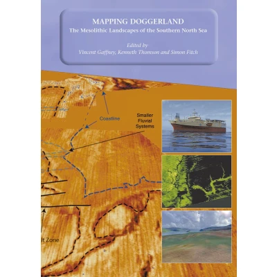
Mapping Doggerland documents the methodology and results of an innovative project to investigate a large area of the Southern North Sea, submerged during the last Glacial Maximum between 10,000 and 7500 bp. 12,000 years ago the area that now forms the southern North Sea was dry land: a vast plain populated by Mesolithic hunter-gatherers. By 5,500 BC the entire area had disappeared beneath the sea as a consequence of rising sea levels. Until now, this unique landscape remained hidden from view and almost entirely unknown. The North Sea Palaeolandscape Project, funded by the Aggregates Levy Sustainability Fund, have mapped 23,000 km2 of this “lost world” using seismic data collected for mineral exploration. "Mapping Doggerland" demonstrates that the North Sea covers one of the largest and best preserved prehistoric landscapes in Europe. In mapping this exceptional landscape the project has begun to provide an insight into the historic impact of the last great phase of global warming experienced by modern man and to assess the significance of the massive loss of European land that occurred as a consequence of climate change.
 Prijshistorie
 * Prijshistorie bevat geen data van Amazon, Amazon Marketplace.
Prijzen voor het laatst bijgewerkt op:
 Gerelateerde resultaten
 Productspecificaties


