


€ 68,90 Gratis verzending

Uitgelicht
|
|
68,90 |
Naar shop
|
| VERGELIJK ALLE AANBIEDERS (1) | ||
 Beschrijving
Vergelijk aanbieders (1)
€ 68,90 Gratis verzending
Winkels met andere maten
Beschrijving
(1)
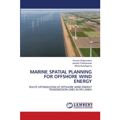
Sri Lanka has identified substantial offshore wind potential in its northwest, west and southeast coasts designating the Mannar, Puttalam and Hambantota areas as particularly suitable for bottom-fixed offshore wind installations. This study presents a comprehensive analysis for optimizing subsea transmission routes from identified offshore zones to land through geographic information system (GIS) based multi-criteria decision analysis (MCDA). Integrating publicly available spatial datasets with stakeholder consultation processes, this research employs weighted overlay analysis using the analytic hierarchy process (AHP) to assess environmental risk levels at each site. Least-cost path analysis (LCPA) generated two optimal transmission routes per site, systematically avoiding high-risk areas including sensitive marine habitats and protected zones. A comprehensive suitability index incorporating equally weighted environmental, socio-economic and technical sub-indices was developed to identify the most suitable site for OSW development. This GIS-based framework provides a replicable methodology applicable to offshore wind development challenges globally, supporting marine spatial plan.
 Productspecificaties
| EAN |
|
|---|---|
| Maat |
|
 Prijshistorie
 Prijzen voor het laatst bijgewerkt op:
 Gerelateerde resultaten


