

€ 24,95 Gratis verzending

Uitgelicht
|
|
24,95 |
Naar shop
|

|
26,99 |
Naar shop
|
| VERGELIJK ALLE AANBIEDERS (2) | ||
 Beschrijving
Vergelijk aanbieders (2)
€ 24,95 Gratis verzending
€ 26,99 Gratis verzending
Winkels met andere maten
Beschrijving
(1)
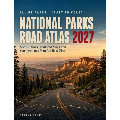
Sixty three national parks. One book that tells you which roads are actually open. Most park guides tell you what to see. This one tells you how to get there, what your vehicle needs to survive the drive, and where the road ends before the map says it does. Every park. Every scenic drive. Every restriction that will turn you around at the gate. Inside you will find: - All 63 national parks, grouped by driving corridor so you can build a real route instead of looking up one park at a time- Vehicle length, width, height, and tunnel limits for the roads that enforce them, so a rig that fits your driveway does not become a lost day at an entrance station- Campground listings with water status, hookups, and which ones sit beyond a restriction point- Trailhead parking capacity, including which lots fill before mid morning and which shuttle systems are the answer- Seasonal road openings given as honest ranges, because a road that "opens in late May" has opened as late as July- Six ready itineraries, seven and fourteen days, built around the five park clusters- Accessible routing, covering permits that let you drive roads otherwise closed to private vehicles- Mileage charts, elevation tables, and grade profiles for every major park roadWho this is for. Drivers planning a multi park trip. RV and oversize vehicle owners who have been caught out by a length limit. Families sequencing a summer route. Retirees working through the full sixty three. Anyone who wants the practical answers before leaving home, not at a ranger station with no signal. What makes it different. This atlas separates what is durable from what changes. Grades, distances, and road layouts are settled and will still be right in five years. Fees, reservations, and closures are not, and this book tells you exactly which is which and where to confirm. Get the atlas that plans the drive, not just the destinations
 Prijshistorie
 * Prijshistorie bevat geen data van Amazon.
Prijzen voor het laatst bijgewerkt op:
 Gerelateerde resultaten
 Productspecificaties


