


€ 16,00 € 2,99 verzendkosten Totaal € 18,99

Uitgelicht
|
|
16,00 |
Naar shop
|

|
19,25 |
Naar shop
|

|
19,25 |
Naar shop
|
| VERGELIJK ALLE AANBIEDERS (3) | ||
 Beschrijving
Vergelijk aanbieders (3)
€ 16,00 € 2,99 verzendkosten Totaal € 18,99
€ 19,25 Gratis verzending
€ 19,25 Gratis verzending
Winkels met andere maten
Beschrijving
(1)
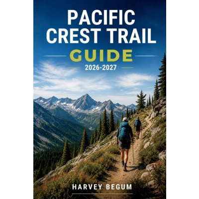
How do you plan 2,650 miles of trail when snowpack, permits, and water sources can all shift before you even leave home? Most hikers piece together their plan from scattered forum threads and outdated blog posts. This guide takes a different approach: state by state, decision by decision. The PCT isn't one trail, it's five very different sections stitched together, and planning for all of them at once is where most preparation breaks down. This book organizes that planning by section, so you're never guessing which advice actually applies to where you're standing. Inside, you'll find: - A section-by-section walk through Southern California, the Sierra, Northern California, Oregon, and Washington, each with its own terrain character, resupply patterns, and elevation profile- A plain explanation of the PCTA long-distance permit, section and agency permits, and the Canada border-entry permit- A comparison of mail-drop resupply versus buy-as-you-go, plus a framework for building your own resupply map- Guidance on reading elevation profiles and treating snowpack as a planning variable, including the Sierra entry decision and creek-crossing timing- Itinerary frameworks for a full thru-hike, section-hike menus organized by state, and three sample plans to adapt- Quick-reference sections covering permits, resupply, verification sources, and a packing and planning checklist- A "verify-first" habit for rechecking conditions, since permits, water access, and fire closures change from year to year >Open the table of contents, find your section, and start building your plan from there.
 Prijshistorie
 * Prijshistorie bevat geen data van Amazon, Amazon Marketplace.
Prijzen voor het laatst bijgewerkt op:
 Gerelateerde resultaten
 Productspecificaties


