

€ 29,99 Gratis verzending

Uitgelicht
|
|
29,99 |
Naar shop
|

|
29,99 |
Naar shop
|

|
32,99 |
Naar shop
|
| VERGELIJK ALLE AANBIEDERS (3) | ||
 Beschrijving
Vergelijk aanbieders (3)
€ 29,99 Gratis verzending
€ 29,99 Gratis verzending
€ 32,99 Gratis verzending
Winkels met andere maten
Beschrijving
(1)
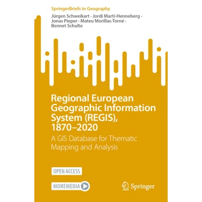
This open-access SpringerBrief accompanies and explains a comprehensive GIS dataset that traces both the external and internal administrative borders of the current 27 EU member states, the United Kingdom, the EFTA member states (Iceland, Liechtenstein, Norway, and Switzerland), as well as the countries that formerly constituted Yugoslavia and Albania, covering the period from 1870 to 2020. The dataset represents the first geospatial data package to provide complete and systematic information on changes in European borders at the regional level. Together, the book and dataset enable users at all levels of expertise to use standard GIS tools to generate regional maps. Detailed knowledge of these regional transformations provides a solid foundation for examining Europe’s cultural and political heterogeneity and its historical development. This resource is particularly valuable for academics and secondary school teachers working in fields such as history, geography, sociology, and European studies.
 Prijshistorie
 * Prijshistorie bevat geen data van Amazon, Amazon Marketplace.
Prijzen voor het laatst bijgewerkt op:
 Gerelateerde resultaten
 Productspecificaties


