
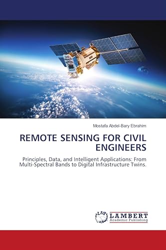
REMOTE SENSING FOR CIVIL ENGINEERS: Principles, Data, and Intelligent Applications: From Multi Spectral Bands to Digital Infrastructure Twins.
Prijzen vanaf
108,90

Uitgelicht

VERGELIJK ALLE AANBIEDERS (3)

Beschrijving

Bol REMOTE SENSING FOR CIVIL ENGINEERS: Principles, Data, and Intelligent Applications: from Multi-Spectral Bands to Digital Infrastructure Twins is a definitive 25-chapter textbook systematically equips civil engineers to transform satellite, aerial, and UAV data into actionable intelligence. It bridges remote sensing theory with practical applications across the infrastructure lifecycle. Readers are guided from fundamental principles through processing optical, thermal, and SAR data, mastering photogrammetry, LiDAR, and InSAR to create DEMs and deformation maps. The core applies these techniques to site investigation, terrain stability, water resource management, transportation networks, and urban monitoring. The final part explores the integration of AI, cloud platforms, GIS, and Building Information Modeling (BIM), culminating in the future-oriented framework of the infrastructure digital twin. An essential resource for education and professional practice, it empowers engineers to design, construct, and manage resilient projects with unprecedented insight.

Vergelijk aanbieders (3)

Shop
Prijs
Verzendkosten
Totale prijs
108,90
Gratis
108,90
Naar shop
Gratis Shipping Costs
108,90
Gratis
108,90
Naar shop
Gratis Shipping Costs
109,00
Gratis
109,00
Naar shop
Gratis Shipping Costs
Beschrijving (2)
Bol

REMOTE SENSING FOR CIVIL ENGINEERS: Principles, Data, and Intelligent Applications: from Multi-Spectral Bands to Digital Infrastructure Twins is a definitive 25-chapter textbook systematically equips civil engineers to transform satellite, aerial, and UAV data into actionable intelligence. It bridges remote sensing theory with practical applications across the infrastructure lifecycle. Readers are guided from fundamental principles through processing optical, thermal, and SAR data, mastering photogrammetry, LiDAR, and InSAR to create DEMs and deformation maps. The core applies these techniques to site investigation, terrain stability, water resource management, transportation networks, and urban monitoring. The final part explores the integration of AI, cloud platforms, GIS, and Building Information Modeling (BIM), culminating in the future-oriented framework of the infrastructure digital twin. An essential resource for education and professional practice, it empowers engineers to design, construct, and manage resilient projects with unprecedented insight.

Amazon

Pagina's: 428, Paperback, LAP LAMBERT Academic Publishing


Productspecificaties

Merk LAP LAMBERT Academic Publishing
EAN
  • 9786209576669
Maat


Prijshistorie

* Prijshistorie bevat geen data van Amazon, Amazon Marketplace.

Prijzen voor het laatst bijgewerkt op:

Uitgelichte Keuze
108,90
Naar shop