


€ 9,29 € 7,99 € 2,99 verzendkosten Totaal € 10,98

Uitgelicht
|
|
9,29
7,99 |
Naar shop
|
| VERGELIJK ALLE AANBIEDERS (1) | ||
 Beschrijving
Vergelijk aanbieders (1)
€ 9,29 € 7,99 € 2,99 verzendkosten Totaal € 10,98
Winkels met andere maten
Beschrijving
(1)
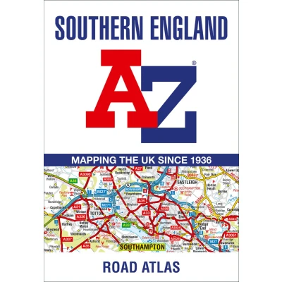
A full-colour regional road atlas featuring 39 pages of continuous road mapping. Covering an extensive area, including Bristol, Swindon, Reading, Slough, Guildford, Littlehampton, Portsmouth, Isle of Wight, Bournemouth, Cardiff, Newport, Weymouth, Sidmouth, Taunton and Weston-Super-Mare. A full-colour regional road atlas featuring 39 pages of continuous road mapping. Covering an extensive area, including Bristol, Swindon, Reading, Slough, Guildford, Littlehampton, Portsmouth, Isle of Wight, Bournemouth, Cardiff, Newport, Weymouth, Sidmouth, Taunton and Weston-Super-Mare. This atlas is shown at a clear 2.5 miles to 1 inch scale (1.58 km to 1 cm) and includes the following features: Motorways open with full junction detail, motorways under construction and proposed, service areas, primary routes and destinations, A & B roads, selected minor roads, gradients 1:5 and steeper, tolls, mileages, county boundaries, spot heights and hill shading Selected fuel stations National Park boundaries Selected places of interest, tourist information centres and golf courses Also included are 15 city, town, airport or port plans for: Bath, Bournemouth, Bristol, Cardiff, Guildford, Portsmouth, Reading, Salisbury, Southampton, Swindon, Taunton, Winchester, Windsor, London Heathrow Airport, and Poole Port. The expansive index section lists cities, towns, villages, hamlets and locations covered by this atlas.
 Productspecificaties
| EAN |
|
|---|---|
| Maat |
|
 Prijshistorie
 Prijzen voor het laatst bijgewerkt op:
 Gerelateerde resultaten


