
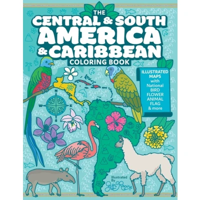
The Central and South America Caribbean Coloring Book: Illustrated Maps with Capitals, National Symbols More
Uitgelicht

|
10,50 |
Naar shop
|
| VERGELIJK ALLE AANBIEDERS (1) | ||
 Beschrijving
Bol
Learn the borders and national symbols of all the countries, territories, and dependencies of this beautiful part of the world in this comprehensive coloring book. A complete collection of 46 original and unique illustrated maps are included along with additional 3 maps of entire regions for reference. The hand-drawn artwork in this book is unique, original and makes geography learning fun and creative!Every page features country map, capital, flag, small inset map with placement on continent for reference, and any officially declared symbols - national flower, bird, and animal. Additionally two iconic landmarks are indicated (magnifying glass artwork) for further exploration along with demonym, official languages, and population size.


Vergelijk aanbieders (1)

 Beschrijving
(1)
Beschrijving
(1)
Learn the borders and national symbols of all the countries, territories, and dependencies of this beautiful part of the world in this comprehensive coloring book. A complete collection of 46 original and unique illustrated maps are included along with additional 3 maps of entire regions for reference. The hand-drawn artwork in this book is unique, original and makes geography learning fun and creative!Every page features country map, capital, flag, small inset map with placement on continent for reference, and any officially declared symbols - national flower, bird, and animal. Additionally two iconic landmarks are indicated (magnifying glass artwork) for further exploration along with demonym, official languages, and population size.
 Productspecificaties
| EAN |
|
|---|---|
| Maat |
|
 Prijshistorie
Prijzen voor het laatst bijgewerkt op:
 Gerelateerde resultaten


