


€ 28,99 Gratis verzending

Uitgelicht
|
|
28,99 |
Naar shop
|

|
57,69 |
Naar shop
|
| VERGELIJK ALLE AANBIEDERS (2) | ||
 Beschrijving
Vergelijk aanbieders (2)
€ 28,99 Gratis verzending
€ 57,69 € 9,99 verzendkosten Totaal € 67,68
Winkels met andere maten
Beschrijving
(1)
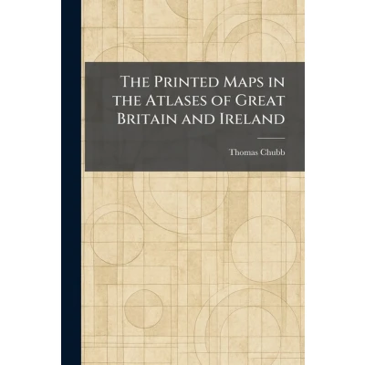
"The Printed Maps in the Atlases of Great Britain and Ireland" is an indispensable reference work for historians, cartographers, and collectors of antique maps. Compiled by the renowned bibliographer Thomas Chubb, this extensive volume provides a chronological and descriptive bibliography of the printed maps found in British and Irish atlases from the late sixteenth century through the nineteenth century.The work meticulously catalogs the development of British cartography, detailing the contributions of master mapmakers such as Christopher Saxton, John Speed, and the Blaeu family. Each entry offers critical insights into the various editions, states, and publishers of these geographical records, making it a foundational resource for identifying and authenticating historical maps. By tracing the evolution of topographical representation across centuries, Chubb offers a clear window into the changing landscape and geopolitical boundaries of the British Isles.Whether used for scholarly research or by enthusiasts of historical geography, this text serves as a vital bridge between the art of engraving and the science of navigation. Its thorough approach ensures that "The Printed Maps in the Atlases of Great Britain and Ireland" remains a cornerstone of cartographic bibliography, celebrating the rich heritage of mapmaking in the United Kingdom.This work has been selected by scholars as being culturally important, and is part of the knowledge base of civilization as we know it. This work was reproduced from the original artifact, and remains as true to the original work as possible. Therefore, you may see the original copyright references, library stamps (as most of these works have been housed in our most important libraries around the world), and other notations in the work.This work is in the public domain in the United States of America, and possibly other nations. Within the United States, you may freely copy and distribute this work, as no entity (individual or corporate) has a copyright on the body of the work.As a reproduction of a historical artifact, this work may contain missing or blurred pages, poor pictures, errant marks, etc. Scholars believe, and we concur, that this work is important enough to be preserved, reproduced, and made generally available to the public. We appreciate your support of the preservation process, and thank you for being an important part of keeping this knowledge alive and relevant.
 Prijshistorie
 * Prijshistorie bevat geen data van Amazon.
Prijzen voor het laatst bijgewerkt op:
 Gerelateerde resultaten
 Productspecificaties


