


€ 18,00 € 2,99 verzendkosten Totaal € 20,99

Gesponsorde links
|
|
18,00 |
Naar shop
|

|
18,70 |
Naar shop
|
| VERGELIJK ALLE AANBIEDERS (2) | ||
 Beschrijving
Vergelijk aanbieders (2)
Gesponsorde links · Sommige shops betalen ons een vergoeding
€ 18,00 € 2,99 verzendkosten Totaal € 20,99
€ 18,70 Gratis verzending
Winkels met andere maten
Beschrijving
(1)
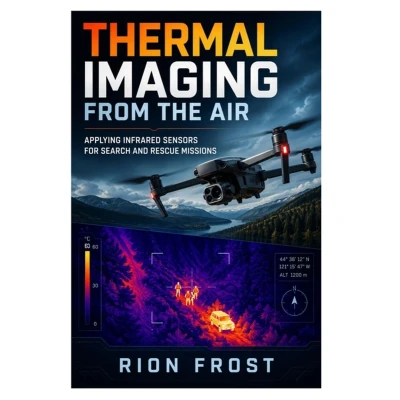
Thermal Imaging from the Air is a practical guide to applying infrared sensors in drone-supported search and rescue missions.This book explains how aerial thermal imaging can help teams detect heat signatures, search difficult terrain, work in low-light conditions, and support safer emergency-response decisions. Readers will learn how infrared sensors, drone flight planning, search patterns, image interpretation, georeferenced data, field coordination, and safety checks work together during search and rescue operations.Inside, the book covers thermal camera basics, infrared sensor behavior, heat detection limits, search planning, night operations, low-visibility conditions, missing-person search support, field checklists, sensor calibration, thermal image review, rescue team coordination, and practical workflows for using drone imagery responsibly in emergency environments.Written for drone pilots, public-safety learners, search and rescue volunteers, emergency-response teams, UAV students, and technical operators, this guide provides a clear foundation for understanding how thermal imaging can support aerial search work.Whether you are learning infrared sensor basics, planning drone-assisted search patterns, reviewing thermal images, or supporting field teams with aerial data, this book will help you approach thermal imaging missions with more structure, caution, and confidence.Buy this book today and start learning how to apply infrared sensors for search and rescue missions from the air.
 Prijshistorie
* Prijshistorie bevat geen data van Amazon.
Prijzen voor het laatst bijgewerkt op:
 Gerelateerde resultaten
 Productspecificaties


