


€ 19,71 € 18,71 € 2,99 verzendkosten Totaal € 21,70

Uitgelicht
|
|
19,71
18,71 |
Naar shop
|

|
18,71 |
Naar shop
|

|
18,71 |
Naar shop
|
| VERGELIJK ALLE AANBIEDERS (3) | ||
 Beschrijving
Vergelijk aanbieders (3)
€ 19,71 € 18,71 € 2,99 verzendkosten Totaal € 21,70
€ 18,71 € 7,30 verzendkosten Totaal € 26,01
€ 18,71 € 7,30 verzendkosten Totaal € 26,01
Winkels met andere maten
Beschrijving
(1)
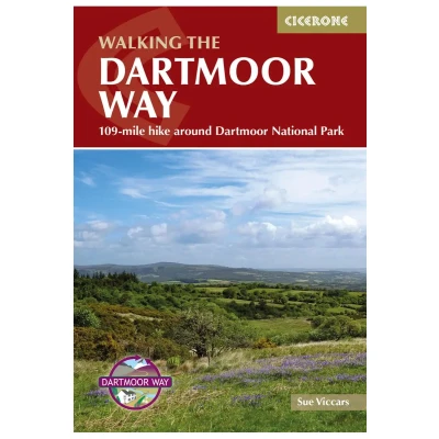
This guidebook presents the Dartmoor Way, a 175km (109 mile) walk around Dartmoor National Park in Devon. Walked in 10 day-long stages between 12.75 and 20.5km (8 and 12.75 miles) in length, this waymarked route skirts the edge of England's largest granite moorland, passing through towns including Ivybridge, Ashburton, Okehampton and Tavistock. Also included is the 2-day High Moor Link, which crosses the moor's higher ground. With 1:50,000 scale OS maps for each stage, the book includes notes on nature, history and local landmarks such as Haytor Rocks, the Teign gorge and Dewerstone crags. Taking in ancient paths, tracks and quiet lanes, the route is mostly at low level and is suitable for most walkers, although some stages involve short, steep climbs and descents. Accommodation, parking and public transport are covered, allowing walkers to choose whether to tackle the route in one go or as individual day walks. Each stage includes low-level detours in case of bad weather, as well as details of walking the route in reverse, giving readers flexibility over direction of travel. Further options include creating shorter loops joined by the High Moor Link, or walking the entire circular route in 7 days.
 Prijshistorie
 * Prijshistorie bevat geen data van Amazon, Amazon Marketplace.
Prijzen voor het laatst bijgewerkt op:
 Gerelateerde resultaten
 Productspecificaties


