


€ 20,90 € 2,99 verzendkosten Totaal € 23,89

Gesponsorde links
|
|
20,90 |
Naar shop
|

|
21,10 |
Naar shop
|

|
21,10 |
Naar shop
|
| VERGELIJK ALLE AANBIEDERS (3) | ||
 Beschrijving
Vergelijk aanbieders (3)
Gesponsorde links · Sommige shops betalen ons een vergoeding
€ 20,90 € 2,99 verzendkosten Totaal € 23,89
€ 21,10 Gratis verzending
€ 21,10 Gratis verzending
Winkels met andere maten
Beschrijving
(1)
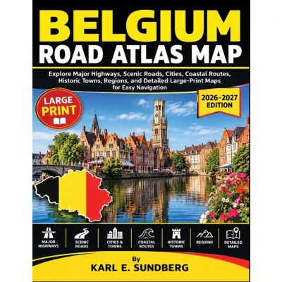
Discover Belgium through clear, detailed road maps designed for confident route planning and easy navigation.BELGIUM ROAD ATLAS MAP presents a practical collection of detailed maps covering major highways, motorways, scenic roads, cities, coastal routes, historic towns, regions, and important road connections across the country.Inside, you will find: - Detailed maps of Belgium's major motorways and highways - Regional road maps covering Flanders, Wallonia, and Brussels - City and urban road networks for major Belgian cities - Scenic routes, coastal roads, and countryside connections - Historic towns and important regional locations - Cross-border roads connecting Belgium with neighboring countries - Clear route numbers, major road connections, and useful geographic references - Large-print maps designed for easier reading and route planningWhether planning a short drive, a cross-country journey, a coastal route, or a trip through the Ardennes, this atlas provides a clear visual reference for understanding Belgium's road network.With its organized maps and large-print presentation, BELGIUM ROAD ATLAS MAP is a useful addition to any road trip, navigation collection, or map library.
 Prijshistorie
* Prijshistorie bevat geen data van Amazon, Amazon Marketplace.
Prijzen voor het laatst bijgewerkt op:
 Gerelateerde resultaten
 Productspecificaties


