The Peddars Way and Norfolk Coast Path: 130 mile national trail Norfolk's best inland coastal scenery

 Beschrijving
Bol
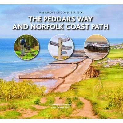
A guidebook to walking the 216 km (133 miles) Peddars Way and Norfolk Coast Path National Trail that combines Norfolk’s inland and coastal scenery. The route can be completed in eleven days with the possibility of breaking the walk into shorter sections. Described in 11 stages, the distance covered spans between 12 and 29 kms (6-18 miles) each day. The Peddars Way is followed from south to north, starting at Knettishall Heath in Suffolk and joining the Norfolk Coast Path at Holme-next-the-Sea. The route ends at Hopton-on-Sea on the Norfolk-Suffolk border. 1:50,000 OS mapping and step-by-step descriptions for each stage Centres include Knettishall, Little Cressingham, Castle Acre, Snettisham, Hunstanton, Brancaster, Wells next to the Sea, Blakeney, Sheringham, Cromer, Mundesley, Sea Palling and Great Yarmouth Information about local history and wildlife Easy access to public transport links throughout the route Handy route summary table, plus comprehensive planning information


Vergelijk aanbieders (1)
A guidebook to walking the 216 km (133 miles) Peddars Way and Norfolk Coast Path National Trail that combines Norfolk’s inland and coastal scenery. The route can be completed in eleven days with the possibility of breaking the walk into shorter sections. Described in 11 stages, the distance covered spans between 12 and 29 kms (6-18 miles) each day. The Peddars Way is followed from south to north, starting at Knettishall Heath in Suffolk and joining the Norfolk Coast Path at Holme-next-the-Sea. The route ends at Hopton-on-Sea on the Norfolk-Suffolk border. 1:50,000 OS mapping and step-by-step descriptions for each stage Centres include Knettishall, Little Cressingham, Castle Acre, Snettisham, Hunstanton, Brancaster, Wells next to the Sea, Blakeney, Sheringham, Cromer, Mundesley, Sea Palling and Great Yarmouth Information about local history and wildlife Easy access to public transport links throughout the route Handy route summary table, plus comprehensive planning information
 Productspecificaties
| EAN |
|
|---|---|
| Maat |
|
 Prijshistorie
Prijzen voor het laatst bijgewerkt op:
 Gerelateerde producten
 Naar shop


