


€ 44,46 Gratis verzending

Gesponsorde links
|
|
44,46 |
Naar shop
|

|
88,82 |
Naar shop
|
| VERGELIJK ALLE AANBIEDERS (2) | ||
 Beschrijving
Vergelijk aanbieders (2)
Gesponsorde links · Sommige shops betalen ons een vergoeding
€ 44,46 Gratis verzending
€ 88,82 Gratis verzending
Winkels met andere maten
Beschrijving
(1)
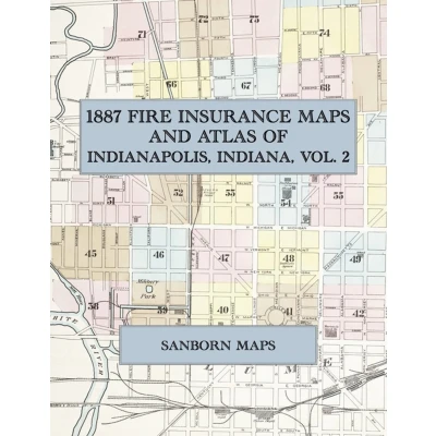
In 1887 the Sanborn Map & Publishing Company of New York surveyed Indianapolis, Indiana, for the fire-insurance trade, drawing the city at fifty feet to the inch. Every building is shown to scale and color-coded for construction, with its height, use, occupant and hazards noted, alongside the hydrants, water mains and steam boilers that protected it. This second volume opens with the surveyor's report and index and a key map, then covers the northern half of the city in forty-five double-page sheets: the State House and the Circle, the Court House and Market Street, Massachusetts Avenue, the Central Canal and the mills along the White River, Military Park, and the residential streets north to Fall Creek.This Exile Books edition is an unabridged facsimile republication of Volume Two of the 1887 Indianapolis survey, reproduced complete and in full color from the copy held by the Geography and Map Division of the Library of Congress: the index, the key map and all forty-five numbered sheets, each double-page plate laid out as a two-page spread. Volume One is published separately.
 Prijshistorie
* Prijshistorie bevat geen data van Amazon.
Prijzen voor het laatst bijgewerkt op:
 Gerelateerde resultaten
 Productspecificaties


