


€ 42,96 Gratis verzending

Uitgelicht
|
|
42,96 |
Naar shop
|

|
78,38 |
Naar shop
|

|
78,38 |
Naar shop
|
| VERGELIJK ALLE AANBIEDERS (3) | ||
 Beschrijving
Vergelijk aanbieders (3)
€ 42,96 Gratis verzending
€ 78,38 € 9,99 verzendkosten Totaal € 88,37
€ 78,38 € 9,99 verzendkosten Totaal € 88,37
Winkels met andere maten
Beschrijving
(1)
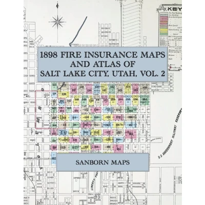
In 1898 the Sanborn-Perris Map Co. of New York surveyed Salt Lake City for the fire-insurance trade, drawing the whole city at fifty feet to the inch in two volumes. Every building is shown to scale and colour-coded for construction, height and use, with street names, house numbers, hydrants, water mains and steam boilers noted. Volume Two opens on its own key map and then works block by block through the city east of Main Street from South Temple (Brigham Street) to Ninth South, the Avenues climbing toward the City Cemetery, Capitol Hill, Washington Square and the Joint City and County Building, the University and Fort Douglas districts, and the blocks west of Temple Square toward the railroad depots.This Exile Books edition is an unabridged facsimile republication of Insurance Maps of Salt Lake City, Utah, Volume Two (Sanborn-Perris Map Co. Limited, New York, 1898), reproduced complete and in full colour: the title page, the street and specials index, the key map and all ninety numbered sheets, 101 to 190. Printed on 8.5 x 11 inch pages, it is a working atlas of Salt Lake City at the close of the nineteenth century for genealogists, house historians, architectural historians, preservationists and anyone tracing the growth of the Utah capital. Volume One (sheets 1 to 91) is published separately.
 Prijshistorie
 * Prijshistorie bevat geen data van Amazon, Amazon Marketplace.
Prijzen voor het laatst bijgewerkt op:
 Gerelateerde resultaten
 Productspecificaties


